


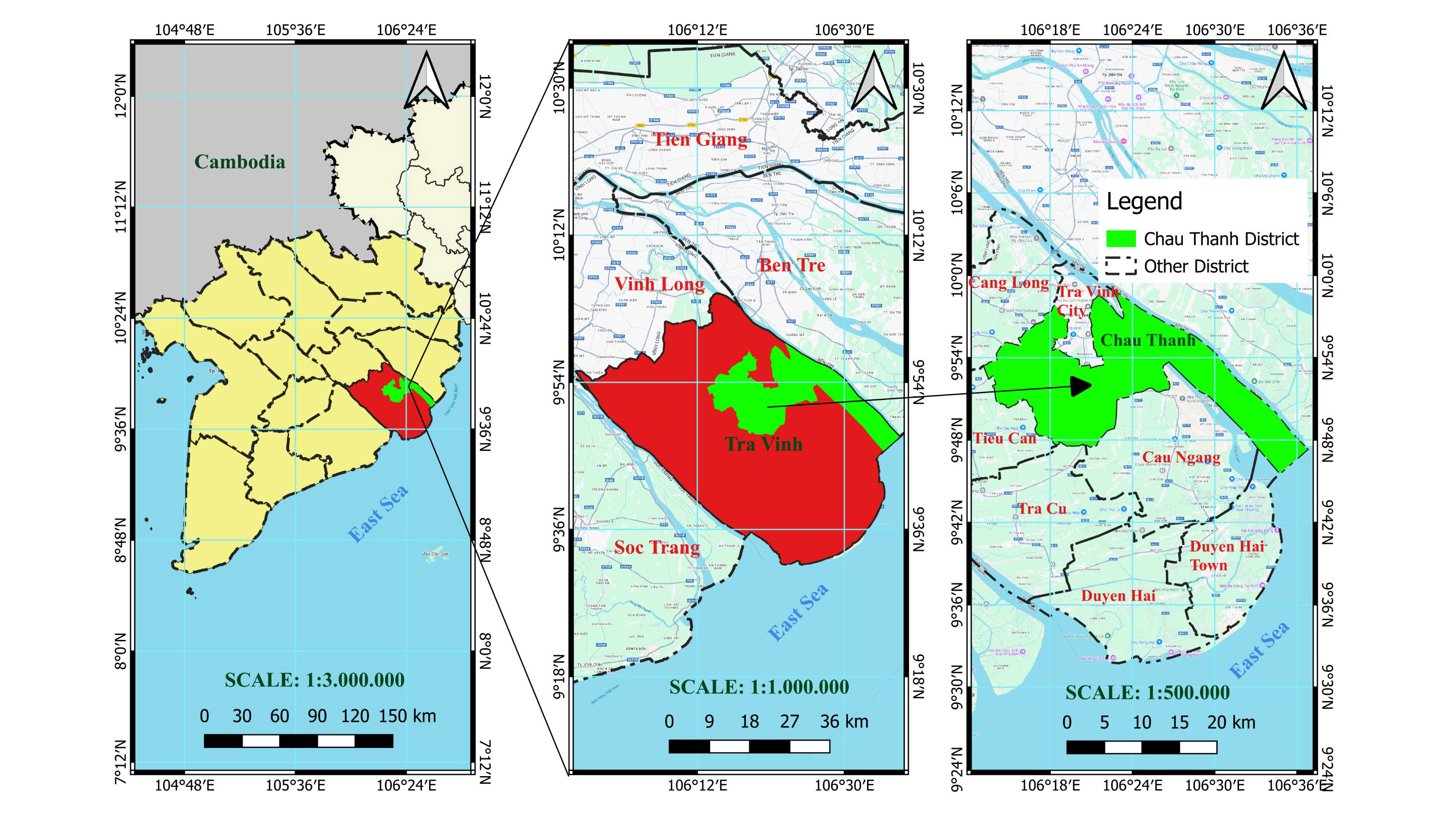
Analyzing and evaluating salinity intrusion in the Mekong River delta-Vietnam using Landsat satellite images: a specific case study in Chau Thanh district, Tra Vinh province
Tra Vinh Province in the Mekong Delta faces severe saline intrusion, significantly impacting agriculture and causing freshwater shortages. Traditional salinity monitoring methods are time-consuming and costly. This study utilizes Landsat data combined with GIS to assess saline intrusion from 2000 to 2022. The Vegetation Soil Salinity Index (VSSI) and electrical conductivity (EC) were calculated to identify saline areas. Vegetation cover was analyzed using the NDVI, revealing a strong negative correlation (-0.818) between vegetation area and high salinity (Level 5 EC). Results indicate that from 2000-2010, saline intrusion was low and consistent annually. From 2010-2022, the frequency and severity of saline intrusion increased, with notable peaks in 2011, 2016, and 2019. In 2016, approximately 4% of the district recorded the highest salinity level. Forecasts suggest that historical patterns of saline intrusion may recur in 2027-2028. This study offers a comprehensive overview of saline intrusion trends in recent years, contributing to effective management and mitigation strategies, and informing future measures for drought and saline intrusion prevention.